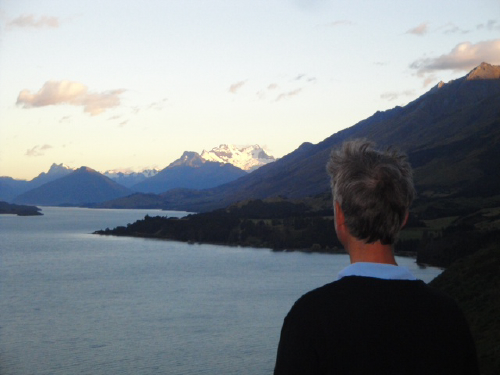
We started our day at 5:45am driving along Glenorchy road with lake Wakatipu on our left and the shining snows of Mount Earnslaw’s glaciers in the distance ahead of us.
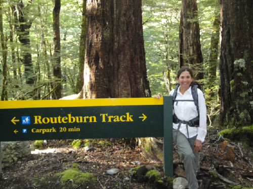
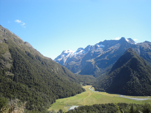
We hit the trail by 8:00am and walked up into the Routeburn Valley next to the Routeburn river. The word burn means river and the Routeburn trail was named for the fact that it has been used as a route through the mountains as far back as the Maori when they came into this valley for plants and greenstone (jade). In the 1800’s goldminers and traders continued to use this route for travel.
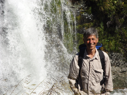
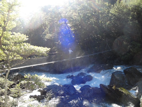
Walking next to the river the day after a heavy rain was exciting; the power of the rushing water and the many waterfalls keep you amazed at every step.
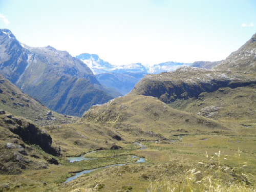
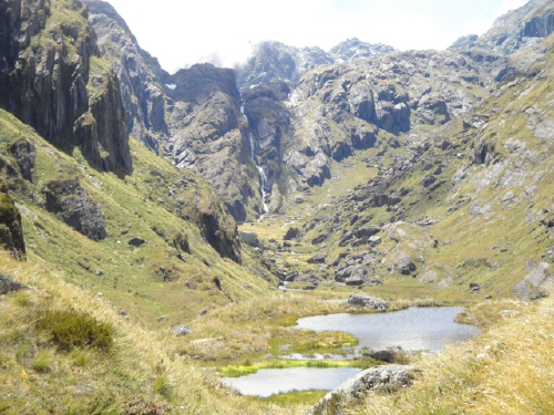
We never thought we would find such beauty walking up a river valley as we had found in Yosemite along the Merced and Tualumne watersheds with their pools, alternating sheer drop off waterfalls and flat open meadows, glacial rock formations and surrounding mountains. Walking to the headwaters of the Routeburn proved to be as astoundingly beautiful if not more so than our beloved Yosemite.
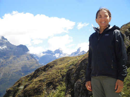
John Muir said it best, ” Go into the mountains and receive their glad tidings”. At each new elevation on the 71/2 mile hike in to Harris Saddle, which divides the headwaters of the Routeburn from the streams and rivers that flow into Fiordland, the breathtaking scenery truly made our hearts glad.
-
The photos continue to be amazing! I can’t believe how BIG NZ is. Dinabandhu, I don’t think I’ve never seen you with a true tan before, it looks good on you! 🙂

2 comments
Comments feed for this article
Trackback link: https://wanderingsadhu.com/wp-trackback.php?p=120